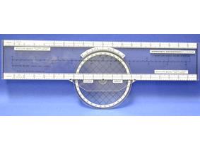
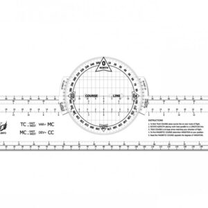
Jeppesen PJ-1
Rotating Azimuth Plotter €15.75The PJ-1 Rotating Azimuth Plotter makes measuring the true course of your flight or determining the magnetic course a breeze with the twist of the azimuth.
Features
Meet your perfect planning partner. This small genius makes measuring the true course of your flight or determining the magnetic course a breeze with the twist of the azimuth. Includes scales for sectional terminal area and WAC charts in statute and nautical miles. Measures 8.25 x 33 cm; and 8.8 cm diameter.


