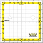
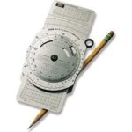
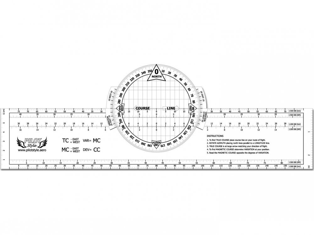
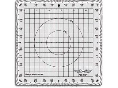
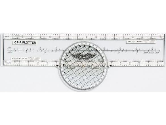
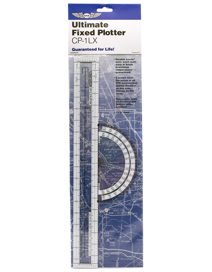
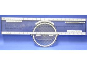
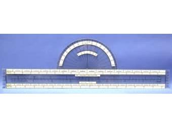
This plotter will quickly and accurately plot, measure and solve your navigation requirements and problems.
Features
- Accurately measure course lines
- Solve off-course problems
- Determine bearings to and from
- Plot true and magnetic north lines
- Superior for use in the cockpit at night
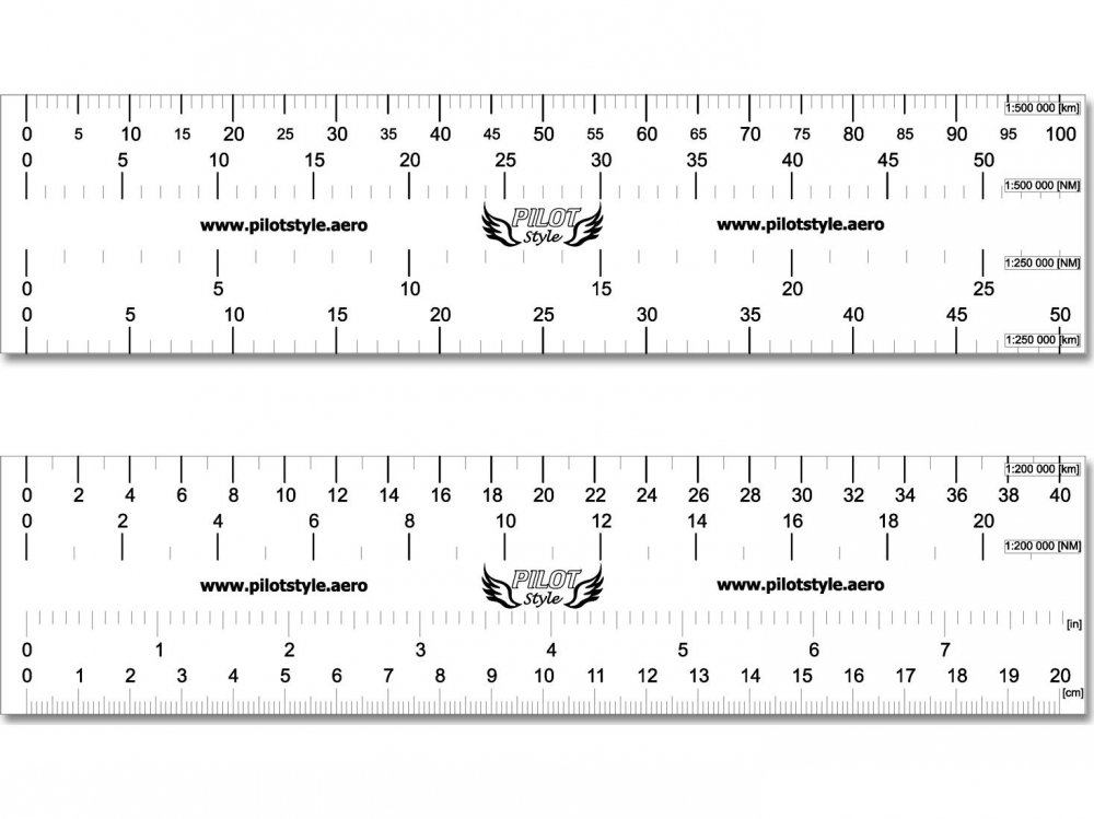
- Top/bottom graduations for kilometres and nautical scales
- Constructed of highest quality PVC plastic
- Rotatable azimuth compass ring
This simplified, versatile plotter accurately measures courses and distances on all VFR + GPS charts.
Note: Since these charts are printed on paper that has a slight tendency to expand and contract under varying temperature and humidity conditions, the scales on the chart may not exactly match the scales on the plotter. These differences are negligible for practical navigation purposes.
To Measure the True Course
between two points on a chart, place the upper edge of the plotter along the desired course line. While holding the plotter stationary, rotate the circular protractor until the arrowed lines point North and are parellel to a line of longitude. Read the true course at the “course arrow” which points in the desired direction. The other arrow indicates the reciprocal of the desired course.
To Measure Distance
use the scale appropriate to the chart.
Plotter has scales for 1:500 000 and 1:200 000 in kilometres and Nautical Miles.
Determine Magnetic Course
To find Magnetic Course determine Variation at your position, read the Magnetic Course opposite the degrees of Variation.

